Fill the Gap!
Last weekend was the "Fill the Gap" mapping party in Kew and Richmond - the gap being between all of our stuff around Putney and the stuff further south-west coming up towards Kingston. Although I had volunteered to help organise it, there wasn't much to be done after Etienne had found a venue. Having a pile of overhead imagery already printed out was worthwhile, since nobody brought their own!
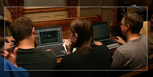
Photos of Streetsigns - sitting around in the pub working on the day's mapping generally attracts curious onlookers - people can never work out what we're up to!
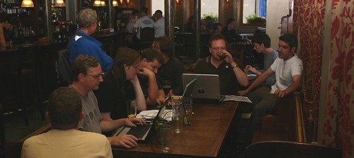
This was after me, Dave and Mike had finished - hence the half-empty table!
On Saturday Mike made his first real foray into the world of OpenStreetMap, and he and Dave went mapping around Mortlake whilst I did the stuff further up the hill in Sheen. With the weather turning a bit miserable I volunteered to stay in the pub and mark up all the morning stuff (and lend a hand with other people), and when everyone was done we went for some pizza down at the river (courtesy of our sponsors; tastes twice as nice!). On Sunday morning Dave and I went round collecting a handful of missed bits from my Saturday zone, before I volunteered to have a quick blast around Richmond Park on my bike, hence saving Nick Whitelegg a few miles walk. Whilst I was there, I nipped out to fill in a couple more council estates that I'd got bored of doing on a previous expedition to darkest Roehampton.
One thing that surprised me in the pub - in amongst all the people with no idea what we were doing, one person remarked "Oh, OpenStreetMap? Yeah, I've heard of you guys". Interesting, and I wonder where from.
All in all, another good mapping party, and now the third that I've been on. At this rate though, there'll be not much left to map in a couple of years - and what will we all do then?
This post was posted on 21 June 2007 and tagged OpenStreetMap, Photography