One Leg Longer than the Other
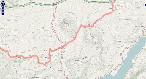
Contours are something that people have repeatedly asked me about - it’s even the closing subject on my radio interview a couple of weeks ago. This weekend I finally knuckled down and got to the bottom of a few outstanding problems (with thanks, as ever to Dave), and from today the cycle map takes a great leap forwards with world-wide contour coverage - well, “world-wide” as in everywhere that’s rendered on the cycle map.
Some of the highlights:
- Southern Wales - National Cycle routes winding through nice and crinkly landscapes
- Mountain biking trails near Machynlleth
- Alpine routes near Bern, Switzerland
- Volcano spotting in the Philippines!
I’m really pleased with the way they’ve turned out, and I think this marks a step-change in functionality for cyclists planning their rides (or consoling themselves afterwards!). It does, however, take quite a lot of processing to generate these - it’s not for the faint-hearted or anyone without a quad-core machine overflowing with RAM and hard-disk space! The eagle-eyed amongst you may notice that all the roads have been tweaked and are more colourful now, but it’s still a cycling-focused map.
For those of you intrigued by the title - it comes from spending many years climbing up, down, and around mountains in Scotland - walking around the side of a mountain is known as “contouring” and gets pretty tiring after a while. Having adjustable legs would have been really helpful.
This post was posted on 18 February 2008 and tagged OpenStreetMap